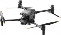
DJI Mavic 3M
 | $5,729.00 Buy! DJI Mavic 3M Multispectral Drone with RC Controller w/Care Enterprise PLUS 1 Yr CP.EN.00000444.01AAdorama.comDelivery: in USA Report |
DJI Mavic 3M
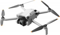
Flight:up to 43 min, range 32 km, speed 75 km/h
Filming a video:1920x1080 px 30 fps, 3840x2160 px 30 fps
Camera:built-in, gimbal for stabilization
Dimensions:347.5x283x139.6 mm, foldable
Weight:951 g
All-round optical obstacle sensors, IR sensors at the bottom of the case. Supports O3 Industry 1080p 60 fps video broadcast up to 15 km. The maximum flight duration is 45 minutes. ActiveTrack 5.0 support. Mechanical shutter on the main camera.
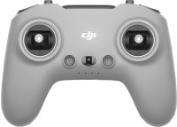
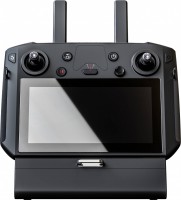
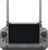
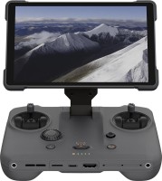
DJI RC Pro Enterprise (802.11ax, 2x2 MIMO, BT 5.1, 64 GB, mini-HDMI, GPS+Galileo+GLONASS) remote control included.
All specifications
Specifications Mavic 3M
|
| ||||||||||||||||||||||||||||||||||||||||||||||||||||||||||||||||||||||||||||||||||||||||||||||||||||||||||||||||||||||||||||||||||||||
The information in the model description is for reference purposes.
Always clarify the specifications and configuration of the product with the online store manager before purchasing.
Catalog DJI 2025 - new arrivals, bestsellers, and the most relevant models DJI.
Always clarify the specifications and configuration of the product with the online store manager before purchasing.
Catalog DJI 2025 - new arrivals, bestsellers, and the most relevant models DJI.
Video reviews
Additional features drone DJI Mavic 3M:
- sensor: 1/2.8" CMOS, 5 MP effective pixels
- lens: f/2.0, viewing angle 73.91°, focal length 25 mm, fixed focus
- maximum photo resolution 2592x1944, video 1920x1080 at 30 fps
- spectral analysis: wavelength 560 ± 16 nm (green), wavelength 650 ± 16 nm (red), wavelength 730 ± 16 nm (extreme red), wavelength 860 ± 26 nm (near infrared)
- Multispectral camera for scanning and analyzing crop growth (up to 200 hectares per flight).
- The maximum altitude above sea level for take-off without load is 6 km.
- Maximum flight range – 32 km, take-off weight – 1050 g.
- DJI AirSense support – warning the quadcopter pilot about the presence of civil aircraft in the vicinity.
- DJI Pilot 2 is an advanced flight interface for improved piloting efficiency and flight safety.
- DJI FlightHub 2 is a cloud-based operations management software for drone fleets (route planning and flight management).
- DJI Terra is a full-featured mapping software for all stages of work, from mission planning to processing 2D and 3D models.
- Built-in light sensor for brightness compensation when building 2D aerial models.
- sensor: 1/2.8" CMOS, 5 MP effective pixels
- lens: f/2.0, viewing angle 73.91°, focal length 25 mm, fixed focus
- maximum photo resolution 2592x1944, video 1920x1080 at 30 fps
- spectral analysis: wavelength 560 ± 16 nm (green), wavelength 650 ± 16 nm (red), wavelength 730 ± 16 nm (extreme red), wavelength 860 ± 26 nm (near infrared)
We recommendCompare using chart →


