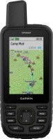
Garmin GPSMAP 67i Rugged GPS Handheld with inReach Satellite Technology Two-Way Messaging Interactive SOS Mapping 010-02812
 |
Close
Buy Garmin GPSMAP 67i Rugged GPS Handheld with inReach Satellite Technology Two-Way Messaging Interactive SOS Mapping 010-02812
When you make a purchase through links on our site, we may receive a affiliate commission.
Garmin GPSMAP 67i Rugged GPS Handheld with inReach Satellite Technology Two-Way Messaging Interactive SOS Mapping 010-02812- | $548.99 | ||||
Garmin - GPSMAP 67i 3" GPS with Built-In Bluetooth - Black 010-02812-00 | $548.99 | ||||
| $599.99 | |||||
| $599.99 | |||||
Garmin 67i 010-02812-00 Hiking Handheld GPS Device With 3" Display And inReach Satellite Technology | $652.99 | ||||
Garmin GPSMAP 67i GPS Handheld and Satellite Communicator 010-02812-00 | $599.99 | ||||
Large 3” sunlight-readable color display for easy viewing
Enable two-way messaging and location tracking via the 100% global Iridium satellite network, and trigger an interactive SOS to Garmin Response℠, a 24/7 staffed emergency response coordination center (active subscription required. some jurisdictions regulate or prohibit the use of satellite communications devices)
Access preloaded TopoActive mapping from Garmin, view satellite imagery, and navigate with multi-band GNSS support and sensors
When paired with your compatible smartphone, you can access active weather forecasts and Geocaching Live
Use with the Garmin Explore website or app on your compatible smartphone to help you plan trips and more
Get access to a wide variety of premium mapping content delivered directly to your device via Wi-Fi technology with an Outdoor Maps+ subscription
Internal, rechargeable lithium battery provides up to 165 hours in 10-minute tracking mode and up to 425 hours in expedition mode with 30-minute tracking intervals
The product description is generated based on data from online stores. Before purchasing be sure to verify all information directly with the seller.
All About Smartphone Navigation: GPS, Beidou, Galileo, and MoreThere are several global satellite navigation systems in the world that operate on similar principles.

Car protection: the functionality of modern car alarmsThe current generation of “signaling” has acquired a mass of functions tied to enhanced resistance to car theft
How to place an order?How to add store?
Remember that the online store is responsible for the accuracy of information regarding price, warranty, and delivery!
We recommendCompare using chart →
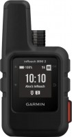
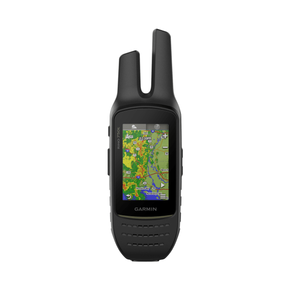
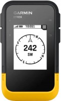
handheld, 1 ", ANT+, water protection IPX7, battery 1250 mAh, up to 96 hours of work, 100 g
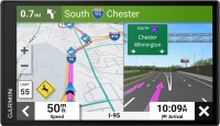


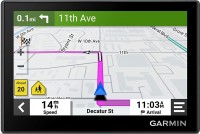
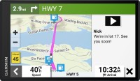
campers, 6.95 ", memory 32 GB, map update, Live Traffic, Lane Guidance, dashcam, Wi-Fi, up to 0.5 hours of work, 271 g
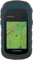
handheld, 2.2 ", memory 8 GB, water protection IPX7, non chargeable batteries, up to 25 hours of work, 142 g

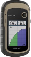
handheld, 2.2 ", memory 8 GB, ANT+, water protection IPX7, non chargeable batteries, up to 25 hours of work, 142 g
campers, 6.95 ", memory 16 GB, Lane Guidance, Wi-Fi, magnetic mount, up to 1 hours of work, 240 g
handheld, 2.2 ", water protection IPX7, non chargeable batteries, up to 168 hours of work, 157 g
handheld, 2.6 ", memory 16 GB, ANT+, water protection IPX7, non chargeable batteries, up to 16 hours of work, 217 g
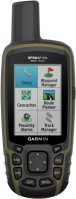
handheld, 3 ", memory 16 GB, Wi-Fi, ANT+, water protection IPX7, up to 180 hours of work, 230 g