Garmin Nuvi 3490LT
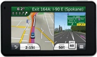 | Outdated Product $396.23 This model comes with maps of Europe already installed, which can be useful if you are going on a trip to European countries. If not, then no problem - the device supports loading the necessary maps. To do this, on board there is a USB interface and a slot for memory cards format microCD. The model can also be used for navigation on foot, while it can work in a vertical and horizontal position. The battery will last for 4 hours. |
Garmin Nuvi 3490LT
Type:cars
Screen size:4.3 "
Resolution:800х480 px
Interfaces:Bluetooth
Working hours:up to 4 h
Weight:118 g
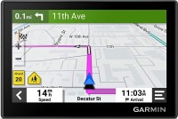
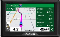
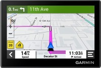
This model comes with maps of Europe already installed, which can be useful if you are going on a trip to European countries. If not, then no problem - the device supports loading the necessary maps. To do this, on board there is a USB interface and a slot for memory cards format microCD. The model can also be used for navigation on foot, while it can work in a vertical and horizontal position. The battery will last for 4 hours.
All specifications
Specifications Nuvi 3490LT
|
| |||||||||||||||||||||||||||||||||||||||||||||||||||||||||||||
The information in the model description is for reference purposes.
Always clarify the specifications and configuration of the product with the online store manager before purchasing.
Catalog Garmin 2025 - new arrivals, bestsellers, and the most relevant models Garmin.
Always clarify the specifications and configuration of the product with the online store manager before purchasing.
Catalog Garmin 2025 - new arrivals, bestsellers, and the most relevant models Garmin.
Additional features sat nav Garmin Nuvi 3490LT:
- trafficTrends
- myTrends
- Junction view function will display a realistic image of the intersection
- Map display in 3D
- Choice of a route from three: the minimum cost of time, the shortest distance, a straight line


