Garmin GPS 10
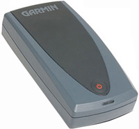 | Expecting restock Application area: handheld; Water protection; Navigation features: Bands number: 12; Bluetooth; Battery life (h): 12; Dimensions (mm): 88x45x19; Weight (g): 80; E-Catalog uses affiliate links compensated by our partners. |
Garmin GPS 10
Type:handheld
Interfaces:Bluetooth
Working hours:up to 12 h
Weight:80 g
All specifications
Specifications GPS 10
|
| |||||||||||||||||||||||||||||||||||||||||
The information in the model description is for reference purposes.
Always clarify the specifications and configuration of the product with the online store manager before purchasing.
Catalog Garmin 2026 - new arrivals, bestsellers, and the most relevant models Garmin.
Always clarify the specifications and configuration of the product with the online store manager before purchasing.
Catalog Garmin 2026 - new arrivals, bestsellers, and the most relevant models Garmin.
Additional features sat nav Garmin GPS 10:
The Garmin GPS 10 comes with a fully unlocked MapSource City Select Europe drive, as well as two easy-to-use navigation apps for a Windows Mobile Pocket PC and a laptop. This software product provides continuous navigation to the selected destination. With Garmin's nRoute (for laptops using Bluetooth technology) or Que (for Pocket PCs using Bluetooth technology) software, these mobile devices become complete navigation systems.
With the help of these systems, you can search for addresses, restaurants and other objects; select destinations and automatically calculate routes; receive visual and voice instructions while driving along the route; recalculate the route when deviating from the desired path.
Good to know:
WAAS technology
WAAS (Wide Area Augmentation System) is a system designed to increase the accuracy of satellite navigation instruments. The principle of operation of the system is based on the correction of satellite data using special corrections, which are calculated by base stations installed in the service area of the system.
- WAAS technology
- Search for addresses, restaurants and other objects
- Accuracy: less than 15 metres, when using WAAS — less than 3 metres
- Garmin GPS 10 Wireless Receiver
- MapSource City Select Europe CD-ROM Full Coverage Full Unlock
- nRoute Laptop Software
- Que Software for Pocket PCs
- Built-in magnet mount
- Hook-and-loop installation device
- 12 volt adapter
- User guide
The Garmin GPS 10 comes with a fully unlocked MapSource City Select Europe drive, as well as two easy-to-use navigation apps for a Windows Mobile Pocket PC and a laptop. This software product provides continuous navigation to the selected destination. With Garmin's nRoute (for laptops using Bluetooth technology) or Que (for Pocket PCs using Bluetooth technology) software, these mobile devices become complete navigation systems.
With the help of these systems, you can search for addresses, restaurants and other objects; select destinations and automatically calculate routes; receive visual and voice instructions while driving along the route; recalculate the route when deviating from the desired path.
Good to know:
WAAS technology
WAAS (Wide Area Augmentation System) is a system designed to increase the accuracy of satellite navigation instruments. The principle of operation of the system is based on the correction of satellite data using special corrections, which are calculated by base stations installed in the service area of the system.
We recommendCompare using chart →


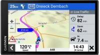
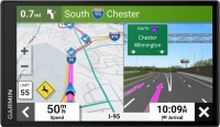
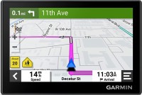
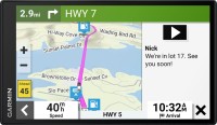
campers, 6.95 ", memory 32 GB, map update, Live Traffic, Lane Guidance, dashcam, Wi-Fi, up to 0.5 hours of work, 271 g
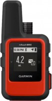
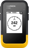
handheld, 1.27 ", ANT+, water protection IPX7, battery 1250 mAh, up to 90 hours of work, 100 g
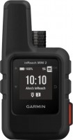
handheld, 1 ", ANT+, water protection IPX7, battery 1250 mAh, up to 96 hours of work, 100 g
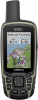
handheld, 2.6 ", memory 16 GB, ANT+, water protection IPX7, non chargeable batteries, up to 16 hours of work, 217 g
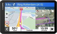
campers, 6.95 ", memory 16 GB, Lane Guidance, Wi-Fi, magnetic mount, up to 1 hours of work, 240 g
handheld, 2.2 ", water protection IPX7, non chargeable batteries, up to 168 hours of work, 157 g