Garmin Dezl LGV710MT-D Europe
GPS Accessories99
 |
388.99Buy!
$
$
Opticsplanet.com
Delivery: in USA
Report
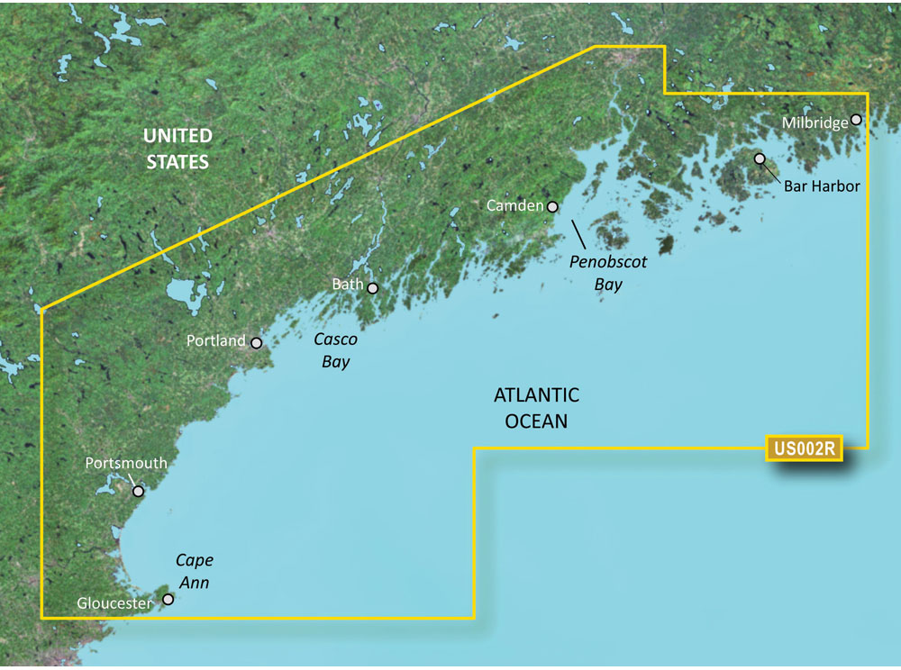
Blue Chart® g3 Vision® HD - VUS002R - South Maine - micro SD™/SD™Coverage
 |
368.99Buy!
$
$
Opticsplanet.com
Delivery: in USA
Report
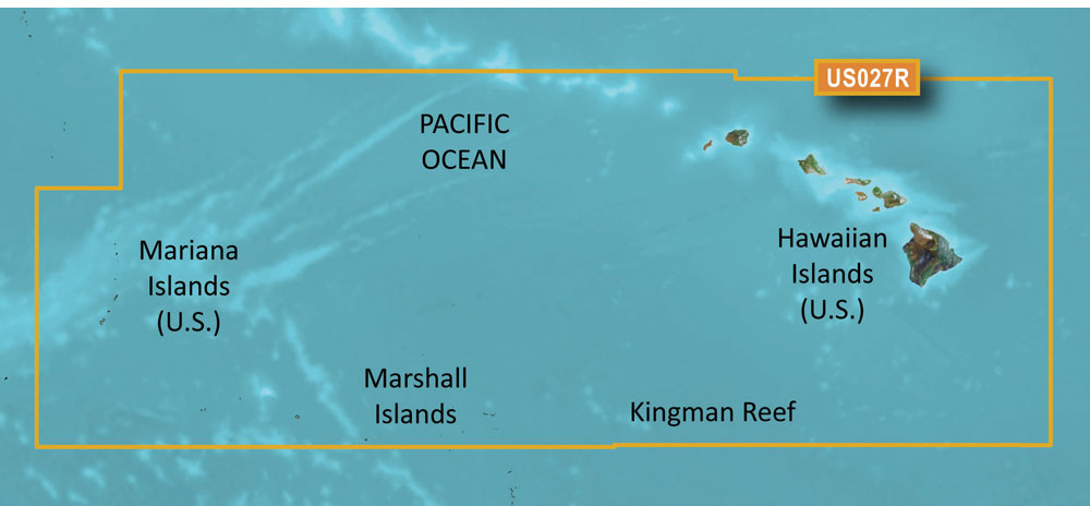
Blue Chart® g3 Vision® HD - VUS027R - Hawaiian Islands - Mariana Islands - micro SD™/SD™Coverage
 |
388.99Buy!
$
$
Opticsplanet.com
Delivery: in USA
Report
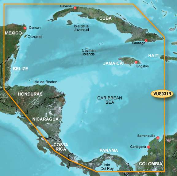
Garmin Blue Chart g2 Vision Southwest Caribbean SD Card: Chart VUS031R - Southwest Caribbean detailed coverage of the northern coast of Central America from Cancun, Mexico to Barranquilla, Colombia, i more→ncluding the Panama Canal in its entirety. General coverage of the northern half of the Gulf of Panama. Also includes detailed coverage of the coasts of Cuba, Jamaica, and the Caymans in their entirety. Garmin Blue Chart g2 Vision has set the industry standard in premier electronic chartplotter-ba
 |
174.49Buy!
$
$
Opticsplanet.com
Delivery: in USA
Report
Blue Chart® g3 HD - HXUS027R - Hawaiian Islands - Mariana Islands - micro SD™/SD™Coverage
 |
42.99Buy!
$
$
Opticsplanet.com
Delivery: in USA
Report
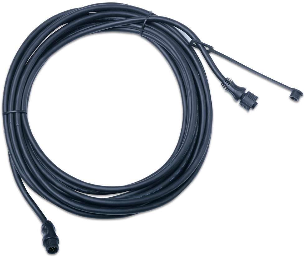
The Garmin NMEA 2000 Backbone/Drop Cables allow you to extend your Garmin NMEA 2000 backbone. Compatible Devices: AIS 300/600 Blackbox Transceiver GBT 10GCL 20 Low-light Imaging Camera GDL 40GET 10GFL more→10GFS 10GHP 12 Autopilot System GHP 20 Marine Autopilot System for Steer-by-Wire, Vikin and Yamaha Helm Master GHP 20 Marine Autopilot System with Smart Pump GMI 10/20 Marine Instrument GPS 19x NMEA 2000GPSMAP Series VHF 200/300 Marine Radio VHF 300 AIS
 |
388.99Buy!
$
$
Opticsplanet.com
Delivery: in USA
Report
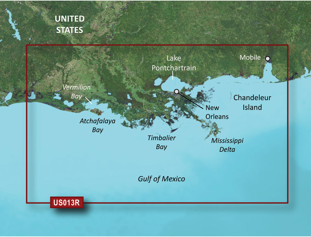
Blue Chart® g3 Vision® HD - VUS013R - Mobile - Lake Charles - micro SD™/SD™Coverage
 |
349.99Buy!
$
$
Opticsplanet.com
Delivery: in USA
Report
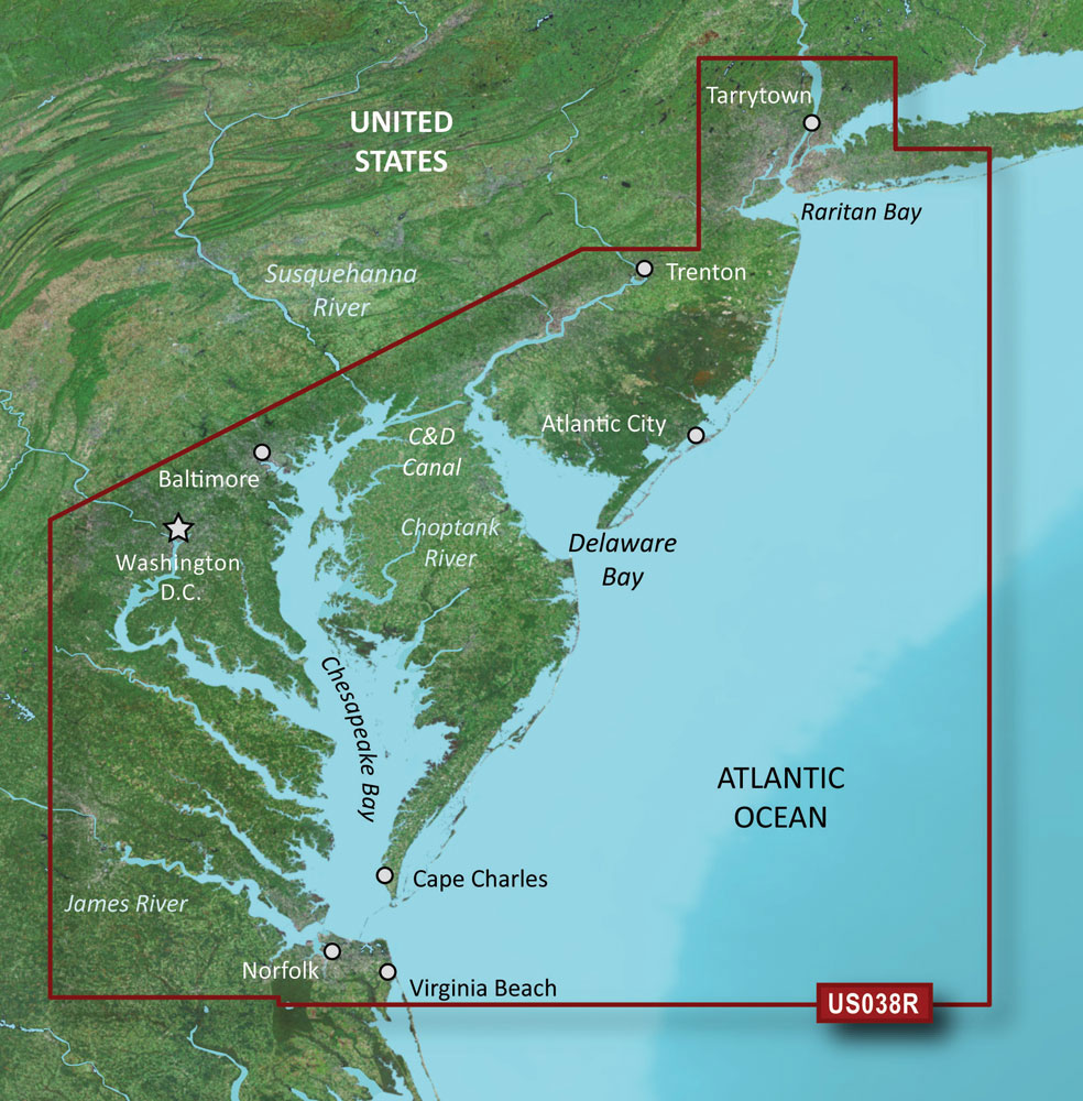
Blue Chart® g3 Vision® HD - VUS038R - New York - Chesapeake - micro SD™/SD™Coverage
Important!
Compatibility with specific Sat Navs models should be checked with manager of online store immediately before purchase.
Compatibility with specific Sat Navs models should be checked with manager of online store immediately before purchase.
